Rainfall and ET
Rain is water droplets that condense from atmospheric water vapor and then fall under gravity. Precipitation is a major component of the water cycle and is responsible for accumulating most of the fresh water on Earth. Evapotranspiration (ET) is the combined processes by which water moves from the earth’s surface into the atmosphere. The average annual rainfall of Ayad river basin is 640 mm with CV 32.82%. The 1st highest (1222.8 mm), and 2nd highest (1184 mm) rainfall were realized during the year 1917, and 2019 respectively, while the lowest (127.8 mm) during 1938. The annual rainfall during 1917 was about 91% more than the long period average (LPA-640 mm).
.png)
Dataset
(1) Daily Precipitation Data Availability (4 Districts) 2000-2020 (2) Daily Precipitation Data (4 Districts) 2000-2020 (3) Daily Precipitation Data (Udaipur) 1973-2020 (4) Monthly Precipitation Data (Udaipur) 1901-2020 (5) Daily Evapotranspiration TS Data 2000-2020
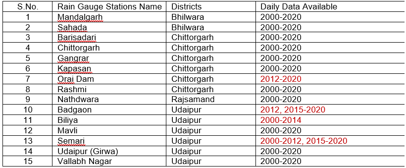
Daily precipitation data availability for 15 rain gauge stations is shown in below table.
 Monthly precipitation data is available for Udaipur from 1901 to 2020, and daily evapotranspiration (ET) time series data is also available from 2000 to 2020.
Source: Water Resource Department, Govt. of Rajasthan. https://water.rajasthan.gov.in/content/water/en/waterresourcesdepartment/WaterManagement/IWRM/annualrainfall.html#
Related images
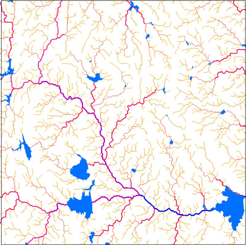
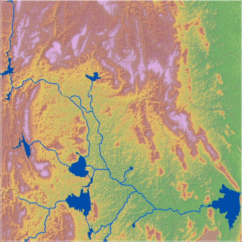
Drainage Network
View more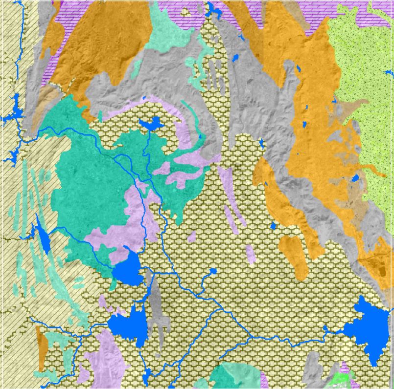
Geology and Lithology
View more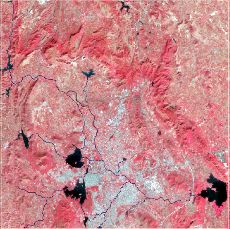
Landsat Satellite Imagery
View more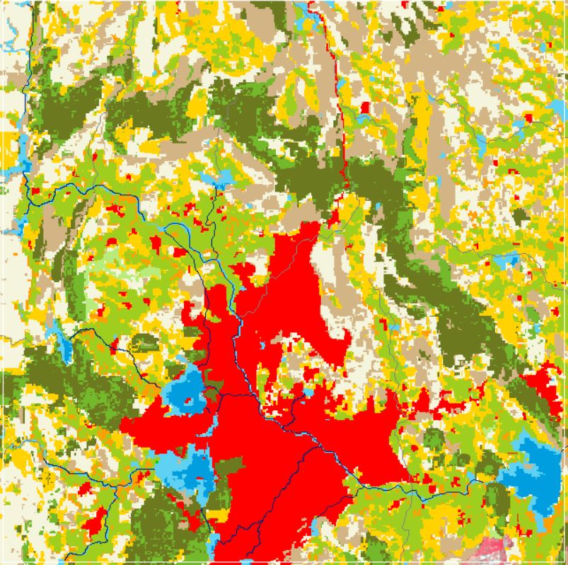
Land Use and Land Cover
View more
Rainfall and ET
View more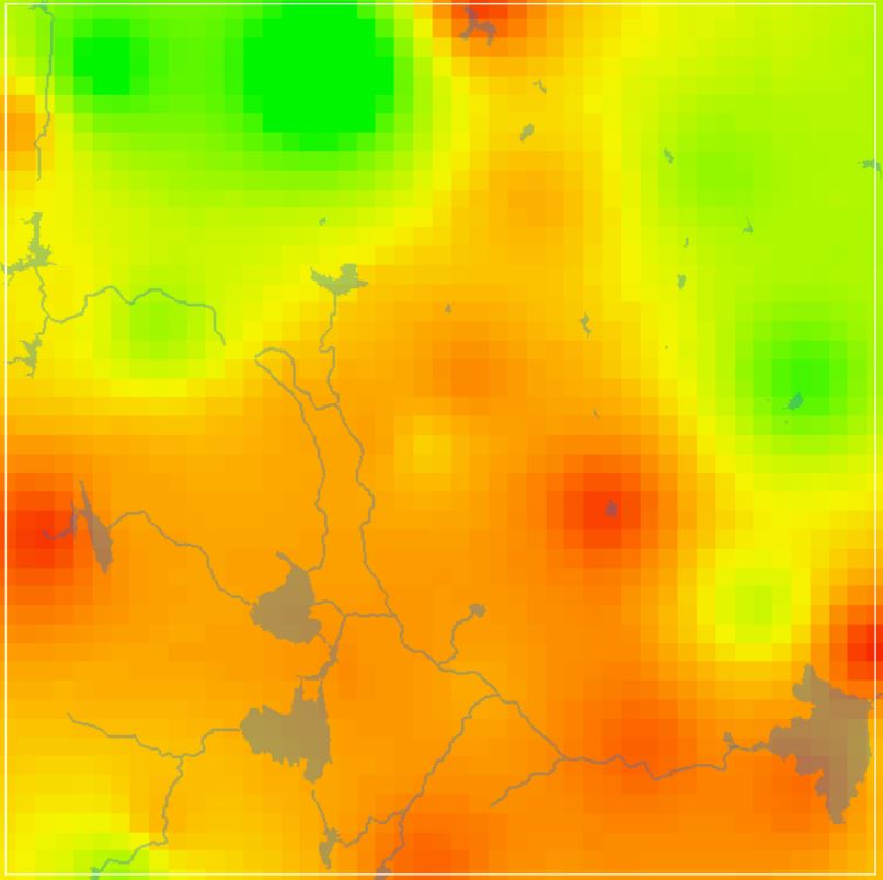
GW DTWL Data
View more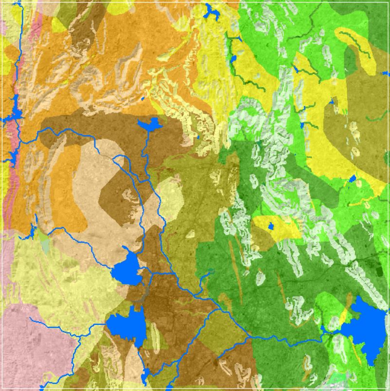
Soil Texture Data
View more